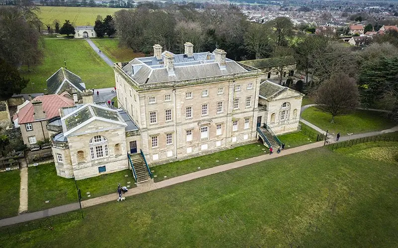
Construction sites move fast, and keeping everyone, from site managers to investors, on the same page is a constant challenge. Regular aerial drone surveys have quietly become one of the most cost-effective ways to do exactly that.
A clear view of the whole site
From a few hundred feet up, a single flight captures the entire footprint of a development in a way that ground-level photos simply can’t. Progress that used to take a walk-round and a written report is captured in minutes, with date-stamped imagery you can compare week on week.
Better planning and fewer surprises
Overhead imagery makes it far easier to spot access issues, track material stockpiles, and plan the next phase of work. Paired with photogrammetry, the same flight can produce accurate terrain maps and 3D models to support design and measurement.
Keeping stakeholders in the loop
Clients love seeing their project take shape. A short, edited progress video every month keeps investors engaged and gives your marketing team something genuinely impressive to share.
Thinking about aerial surveys for your site? Get in touch for a no-obligation quote, every job is tailored to what you actually need.